Waypoint Journeys Presents
The Long Coast
Ten Countries, One Line
22 Days
Banjul to Cotonou, the Whole Western Shoulder of Africa
We reply within 24 hours
The Whole Shoulder, in Order
Look at the western shoulder of Africa and you are looking at ten countries stacked along about 3,000 kilometres of coast. Almost nobody travels them in sequence. People fly into one, fly out of it, and fly into the next, and the thing that connects them, the reason the Mandinka in Banjul and the Fon in Cotonou share vocabulary and drum patterns and a coastline of European forts, never becomes visible. This expedition exists to make that line visible by driving it.
We built it by joining the two West African routes we already run and cutting out the seam. Our Atlantic Frontier expedition ends at Abidjan; our Ghana, Benin and Togo expedition begins again in Accra. Run back to back they cost you a departure day, an arrival day and a flight over 500 kilometres of perfectly drivable coast road. Joined properly, the convoy never stops: the same vehicles and the same expedition leader take you from the mouth of the Gambia River to the stilt houses of Ganvié, and the days we save go into the Fouta Djalon, Ashanti Kumasi and Ouidah.
The trip has two halves and they do not feel alike. The first eleven days are the hard part: improvised borders, red laterite, hotels that are simply somewhere to sleep, and the long grind from Freetown to Monrovia. After the flight to Abidjan it changes. The tar improves, the days shorten, the forts arrive one after another along the Gulf of Guinea, and you spend the last week reading the Atlantic slave coast in the order it was built. Twenty-two days is a long time. This is the itinerary that needs them.
"Ten flags, eight border posts, four colonial languages and one coast. Only one of those was here first."

Eight Land Borders, Four Colonial Languages, One Convoy
The Gambia, Senegal, Guinea-Bissau, Guinea, Sierra Leone, Liberia, Côte d'Ivoire, Ghana, Togo and Benin, in that order, in one convoy. Eight land borders and a single internal flight over the one gap that cannot be driven safely. Nobody else runs this as a continuous route.
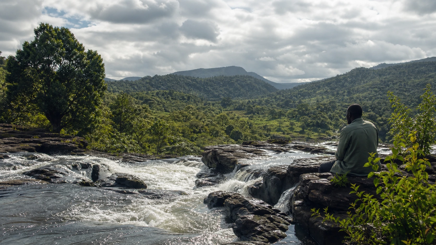
Guinea's green interior, the plateau where the Gambia, Senegal and Niger rivers all begin. Waterfalls drop off the escarpment edges, the air cools by ten degrees as you climb, and the Fula herding country up there has an identity that owes nothing to the coast behind you.
Two capitals founded as answers to slavery, one by freed people under Britain, one by freed people from America, their origins still legible in the street names. Few travellers reach either. The overland day between them is the hinge of the whole expedition.
One of the largest churches on Earth stands in the Ivorian bush, its dome answering St Peter's and its colonnades facing the forest. Whatever you conclude about why it is there, the scale of it in that setting is one of the strangest sights in Africa.
The Gulf of Guinea forts read differently when you arrive at them along the coast rather than flying in. Elmina went up in 1482 and is the oldest European building south of the Sahara. At Ouidah the road to the water is still marked, gate by gate, all the way to the beach.
Some thirty thousand Tofinu people live on stilts in Lake Nokoué, in a settlement founded because the Dahomey raiders were forbidden by their own beliefs to follow anyone onto water. We reach it by pirogue, in the morning, before the market boats disperse.
The Expedition
Twenty-two days from the mouth of the Gambia River to the lagoon at Cotonou: ten countries, eight land borders, one flight over the only gap we will not drive.
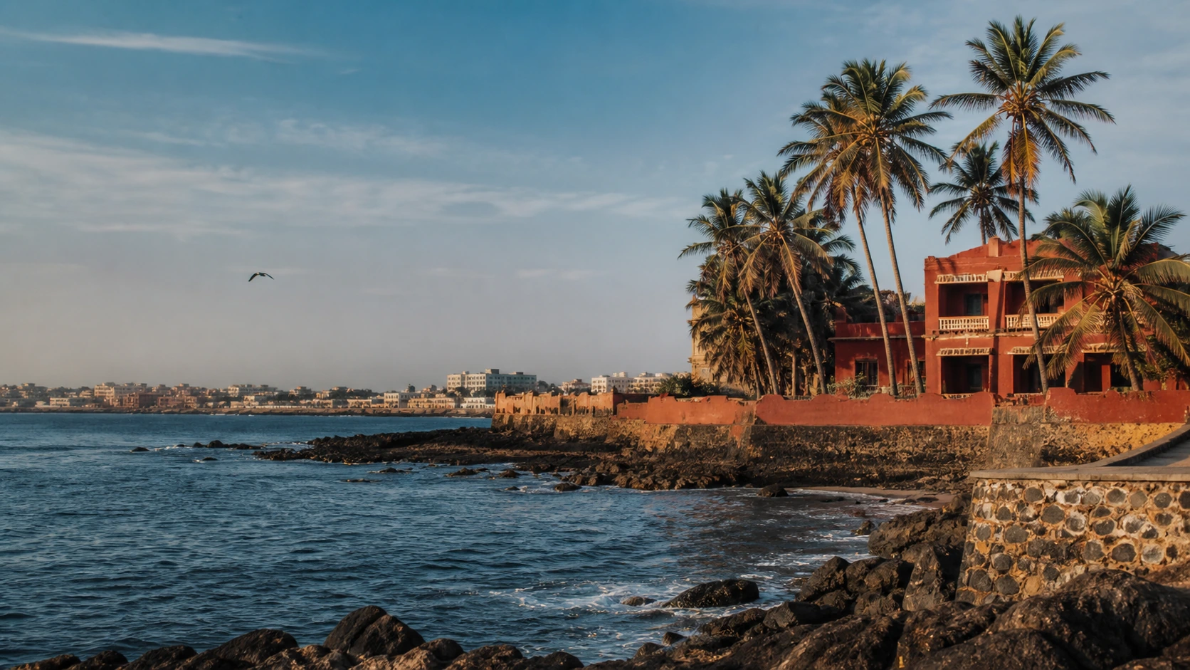
Arrive in Banjul, the smallest capital on the Atlantic coast of Africa, where the convoy vehicles are already loaded. The afternoon is yours to walk Albert Market and the riverfront; in the evening we lay the whole route out on the table, all ten countries of it, and talk through how the next three weeks are going to work.
South out of The Gambia on the first crossing of the trip, a gentle one by the standards of what is coming. Senegal changes character below the river: the Casamance is green, slow and threaded with mangrove creeks, and it has spent decades feeling separate from Dakar. We finish at Ziguinchor, the old river port, on the waterfront at dusk.
A short run west on back roads through Diola villages and stands of sacred forest to the Atlantic at Cap Skirring. The afternoon is for the coast: the fishing beach, the palm line and whatever the tide has left. The sunsets here are the best on this stretch of the ocean, and today is a light day on purpose, because Day 4 is not.
The crossing at São Domingos and then south through cashew country on a road that alternates without warning between tar and red earth. Bissau at the end of it is a city of collapsing Portuguese facades, bougainvillea growing out of the plasterwork and a waterfront that has stopped pretending to be a port. It is one of the strangest capitals in Africa.
East into the interior, away from the Atlantic for the first time since Banjul. Gabú is a Fula trading town at the edge of the plateau country, hot and busy and entirely unvisited. We stop en route at Bafatá, the colonial river town where Amílcar Cabral was born, and get the paperwork in order for tomorrow.
The hardest border on the route, and the one we allow a whole morning for. On the far side the road starts to climb, and by the afternoon you are in the Fouta Djalon: plateau grassland, waterfalls off the escarpment edges, and air ten degrees cooler than the coast. Labé, the capital of the highlands, is where we sleep.
A day out of the vehicles. We walk a section of the escarpment with a local guide, down through terraced Fula smallholdings to one of the falls, and back up in the afternoon. The highlands are the reason to come to Guinea and the reason we do not simply drive through them, which is what almost every crossing of this region does.
South off the plateau on the long descent to Kindia, through the mango belt and the mining towns, with the temperature climbing as the altitude falls. Kindia sits at the foot of the highlands and marks the end of the cool days. From here the route runs back to the coast and stays there for the next two weeks.
Into Sierra Leone, then the run down the peninsula road into Freetown. The city sits on steep green hills above one of the largest natural harbours in the world, and arriving by road from the north gives you the whole geography at once, which the airport ferry does not.
A day in one place. Morning in the city: the Cotton Tree, the Krio board houses on the hillsides, the market streets that run straight downhill to the water. Afternoon on the peninsula beaches south of town, at Tokeh or River Number Two, which is where Freetown goes on a Sunday and where the convoy crews catch up on sleep.
The defining overland day of the expedition. East and south through Sierra Leone's rice country to the Mano River, across into Liberia, and on to Monrovia in the dark if the border is slow. It is a long, hot, uncertain day and we do not pretend otherwise. It is also the reason the line on the map stays unbroken.
Liberia's capital rewards a slow day. Providence Island, where the first settlers from America landed in 1822; the Waterside market; the burnt-out Ducor Hotel on its hill above the city; and street names that read like a road map of the American east coast. We also re-provision here, because the vehicles have earned it.
The single gap we do not drive. The road east through south-eastern Liberia and into Côte d'Ivoire is genuinely unreliable, so we fly it, in a little over an hour. Abidjan on the other side is a shock after eleven days of laterite: towers, lagoon ferries, a Plateau skyline and traffic. The evening is in Treichville, and the food is a step change.
North on good tar to the political capital that Félix Houphouët-Boigny built out of his home village, and to the Basilica of Our Lady of Peace standing in the bush at the end of it. We spend the afternoon there, under a dome that answers St Peter's, with room inside for eighteen thousand people and rarely more than a handful.
West into Guro country in the morning for the Zaouli, a masked dance performed at a speed the eye cannot resolve, the dancer's feet blurring under a carved face that never moves. We watch it in a village that keeps it rather than on a stage. Then east again, back to Abidjan for the night.
East along the coast to Grand-Bassam, the first French colonial capital, its quartier France now a UNESCO site half reclaimed by the sea. Then the Elubo crossing into Ghana, where the language changes to English and the road surface improves within a kilometre. We stay the night on the coast near Axim.
The heart of the Ghanaian coast. Elmina Castle went up in 1482 and is the oldest European building south of the Sahara; Cape Coast Castle down the road is the larger and the harder of the two to walk through. We do both with a guide, slowly, and finish in the canopy at Kakum, seven walkways strung forty metres above the forest floor.
Inland and uphill into Ashanti country. Kumasi was the capital of an empire that fought the British to a standstill for the better part of a century, and it still carries itself that way. Afternoon at the Manhyia Palace museum and the Prempeh II collection, then the kente weavers at Bonwire if the light holds.
Morning at Kejetia, which is either the largest open-air market in West Africa or merely one of them, depending on who is counting; either way it takes hours and is worth every one. Then the motorway south to Accra, arriving in the evening for a night in a city that feels a long way from Bissau.
East along the coast to the Aflao crossing, which puts you in the middle of Lomé within minutes: it is the only capital in Africa that sits directly on its own border. In the afternoon we take a boat across Lake Togo to Togoville, where the 1884 German protectorate treaty was signed and where the vodun shrines are still in daily use.
The last border, at Hillacondji, and into Benin. Ouidah is the point of the whole coast: the Python Temple facing the basilica across the square, the sacred forest, and the four-kilometre Route des Esclaves running down to the Door of No Return on the beach, marked at every stage of what was done along it. We finish in Cotonou.
Out by pirogue at first light to Ganvié, thirty thousand people living on stilts in the lagoon, in a place founded because the Dahomey raiders would not follow anyone onto water. Back to Cotonou by late morning, and the expedition ends there. Book departures from mid-afternoon onward.
What's Included
FREQUENTLY ASKED QUESTIONS
Common Questions About This Expedition
Expedition Investment
per person, twin share
Fully inclusive of the supported 4WD convoy and a single expedition leader for all twenty-two days, local fixer teams in ten countries, eight land borders handled end to end, the Monrovia to Abidjan flight, twenty-one nights' accommodation, and all listed meals and experiences
Excludes international flights, all visas, travel insurance, most city meals. Single supplement $820 USD. Runs in the November–February dry window; routing may adjust in real time with road and border conditions. Half-route options from Banjul to Abidjan or Accra to Cotonou are priced on request
Reserve Your SpotTen countries means ten separate assessments, not one headline about West Africa. Every region on this route is reviewed on its own terms and reviewed again as the departure approaches, and the expedition leader has the authority to reroute at any point without asking anyone's permission. The convoy runs under a fixed protocol: daylight driving only, vehicles in constant radio contact, and a local fixer team ahead of us at every stage and every border post. The one segment we will not drive, south-eastern Liberia into Côte d'Ivoire, we fly instead, which is why Day 13 exists. Across this whole region the dominant risk is the road rather than crime, and the pace, the convoy and the daylight rule are all built around that. Every confirmed traveller gets a detailed country-by-country briefing before departure.